Trails & Maps
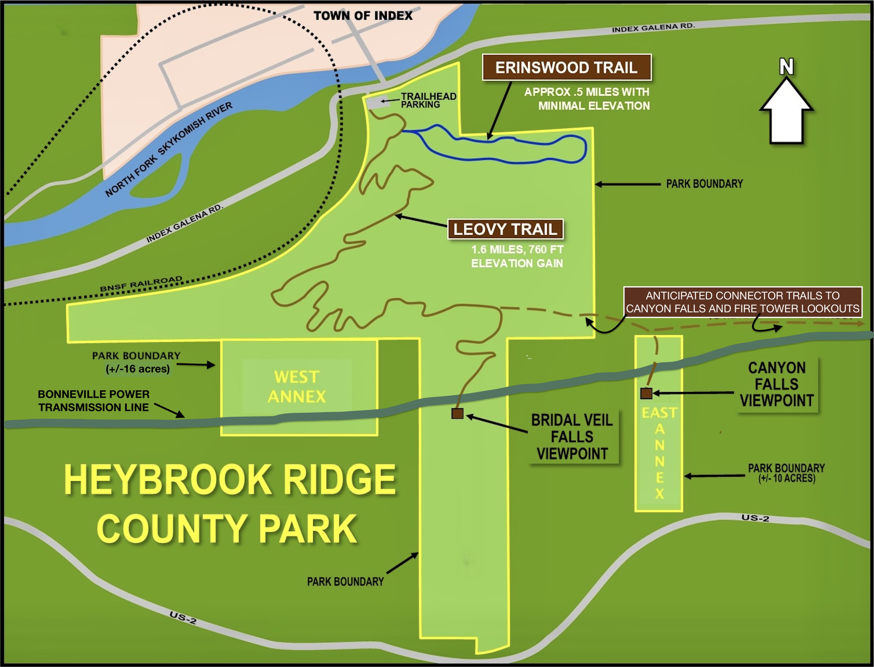
Trail Update
Great news! The Erinswood Trail is completed and Heybrook Ridge County Park has reopened. Help us celebrate at the Erinswood Ribbon-Cutting Ceremony on 10/9/26, 2-4:00 pm. Meet in the HRCP parking lot.
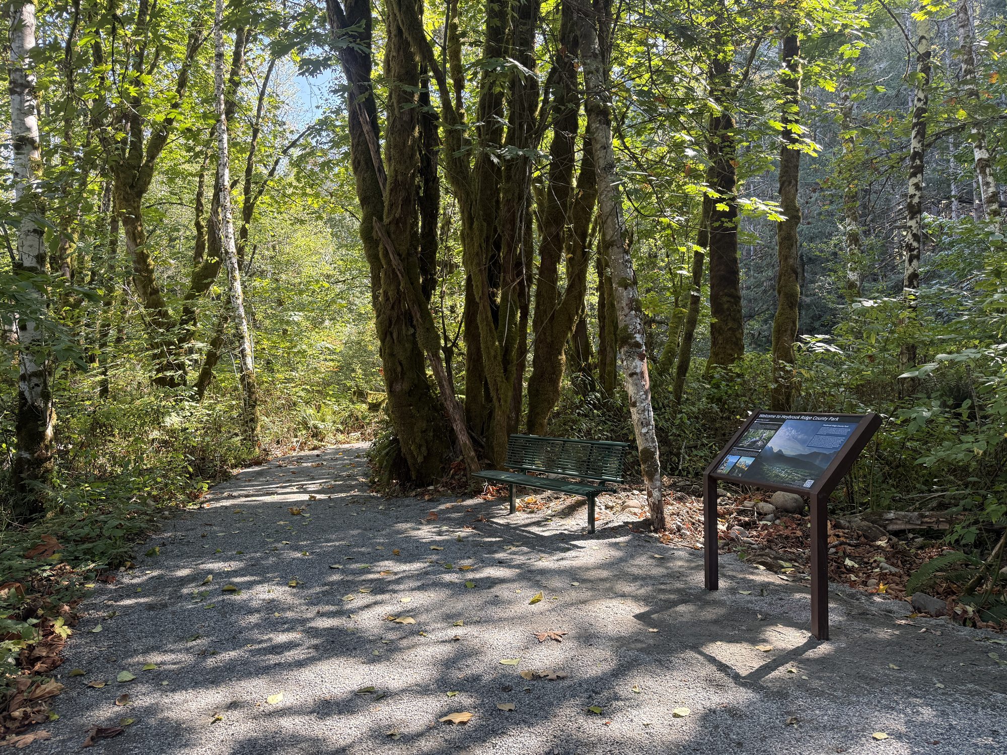
The start of the Erinswood Trail. Photo by Emily Griffith.
Erinswood Loop
0.5 miles, minimal elevation changes. This ADA-compliant trail is designed to be accessible by wheelchair and stroller; windfall trees and branches may temporarily interfere. The loop is named for Erin Sample, whose limitations have never prevented her from exploring.
Leovy Trail
1.7 miles, approximately 600 feet of elevation gain. The Leovy Trail traverses the face of Heybrook Ridge. The purchase of the park's original 130 acres was made possible in 2007 by a generous donation by Conway Leovy, whose activism flowed from his passion for the Cascades.
Maps
Click a map to enlarge it.
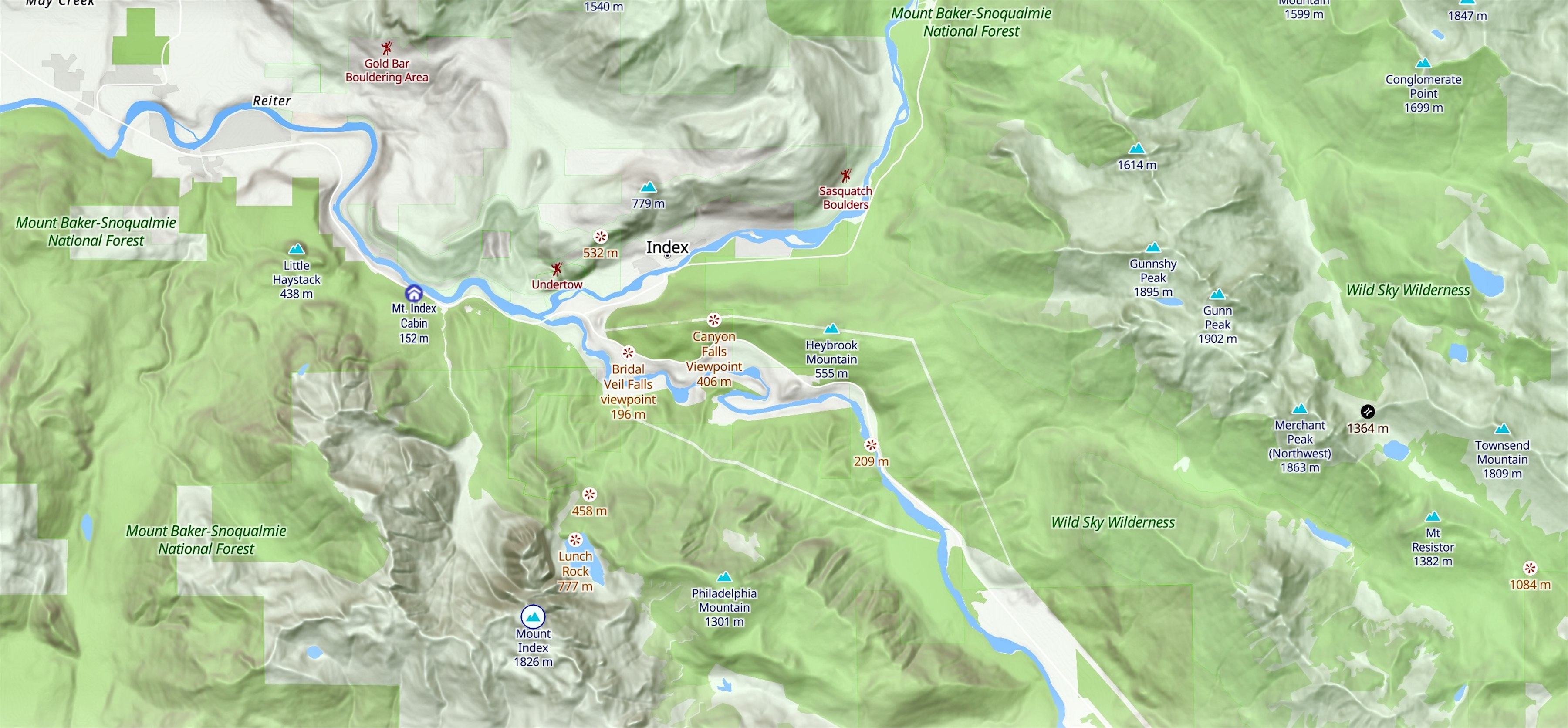
Heybrook Ridge and the Skykomish Valley.
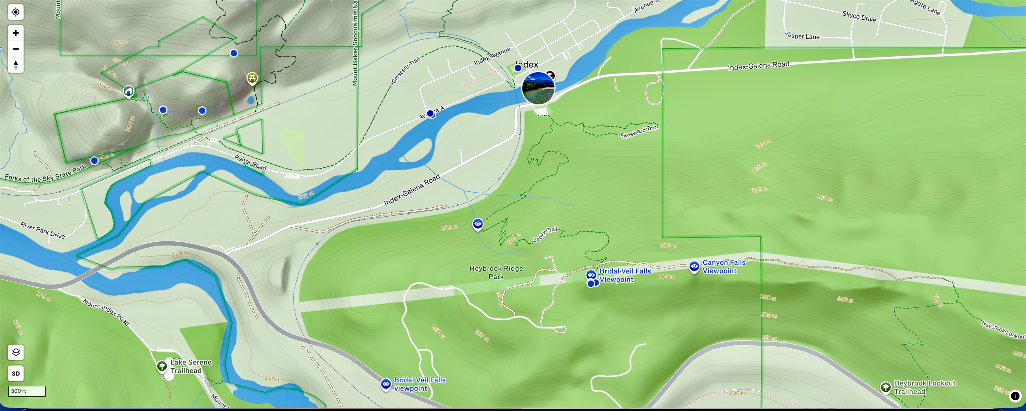
Heybrook Ridge County Park trails.
Friends of Heybrook Ridge
P.O. Box 265
Index, WA 98256
[email protected]
Friends of Heybrook Ridge is a not-for-profit 501(c)(3) organization. Our Federal ID (EIN) is 51-0629374.
Contributions are tax-deductible to the full extent allowed by the law.